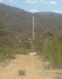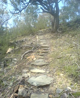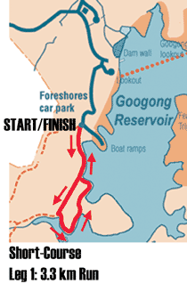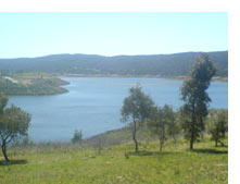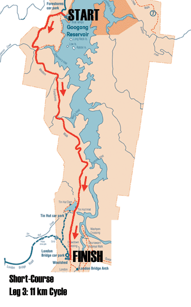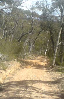
Leg 3 is a 31 km mountain bike ride, starting once more from the Foreshores car park. Head up the main bitumen road for a hundred metres or so, then turn left through the gate onto the Western Foreshores Walking Track, a dirt road in good condition (the first few kilometres are the same as your first run course).
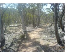
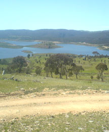
This road follows the western foreshores. There are a few decent climbs and descents, then the road flattens for the final few kilometres before Tin Hut Dam. Just before you reach the Tin Hut car park, turn left, then right onto another track still heading south (this way you avoid the public road).
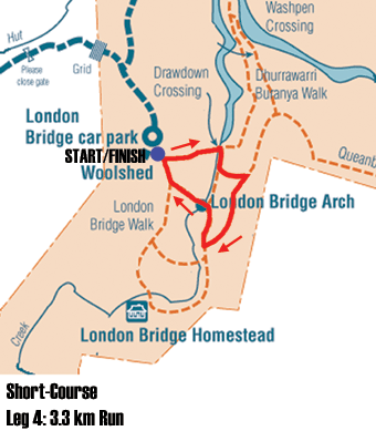
After another short climb, you will come out above the London Bridge Woolshed car park. Here the short course turns right to the car park, but you will turn to your left, down a long swooping incline to the usually-bone-dry Drawdown Crossing, where you will be met with a 15 - 20 metre stretch of water that needs to be either waded across or paddled. There will be a kayak on hand for those who do not wish to wade across. Follow this track around, looping up to your left, then turn left at the next intersection. The next few kilometres are 2-way traffic, so be sure to remain on your left at all times, particularly coming down hills.
Follow the signs to Gelignite Crossing. The track borders private property and the nature reserve for a while, then heads into a very steep descent to Gelignite Crossing. Take great care here and look out for bikers coming the other way. Turn left to cross over Queanbeyan Creek at Gelignite Crossing. You may have to wade a little. There follows a series of very steep climbs and drops. From the highest point, there is a long and satisfying descent all the way to the next crossing of Queanbeyan River.
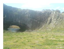
From here there is another long climb, then another steep descent back to Gelignite Crossing, which this time you do not cross. Continue straight ahead here up the steep hill out of Gelignite Crossing. This is the 2-way section again, so look out for bikes coming in the other direction! Ignore the turn-offs to your right. Eventually you will come out into a clearing, with London Bridge Arch on your right. Veer left at the signposted intersection, then turn right at the next sign to the London Bridge Woolshed (do not go all the way to London Bridge Homestead).
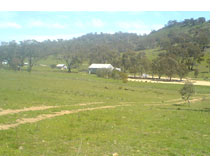
This track brings you to the London Bridge Woolshed car park. Go through the gate at the bottom and immediately sharp left into the car park, round the large rocks and into the transition area on the grass in front of the car park. Transition here to leg 4, the final run.
|