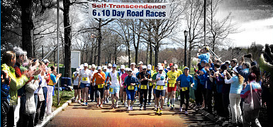
View and download the full course on Garmin Connect.
The second run starts from the grassed area on Badimara St, Waramanga, follows the cycle path under Tuggeranong Parkway, then turns immediately right onto Waldock St, heading uphill towards Mt Taylor. Before reaching the car park, the course departs the road through a gap next to a gate on the right, onto a graded dirt track to the left. Follow this track up a very sharp incline, the steepest climb of all the run courses. Near the summit, veer left onto a small track to touch the trig station, and pause to appreciate a drink and the very best views of South Canberra and the Brindabellas. The trail down the southern face of Mt Taylor offers further scenic rewards, with striking vistas of Tuggeranong Valley and the lake, which is the destination of this run. Near the base of the mountain, the trail comes to a T-junction with a graded track. Turn right here (toward the Brindabellas), and take the next right hand fork, hugging the mountain. After a few small roller-coaster hills, take the next fork to the left under the power lines, heading down rather than up, then left again onto a small track, where there is a drain covered by a large metal grating on the right.
After the gate, turn sharp right onto a small single-lane track (ie do not head across Sulwood Dr). Follow this inconspicuous track across Colquhoun St, then turn left onto the cycle path, passing immediately underneath Sulwood Dr, and later under Marconi Cres. Just before some playing fields, take a left fork in the path, then right at another fork between two playing fields.
You will head under the dual carriageway of Drakeford Dr, twice under O'Halloran Cirt, then under Athllon Dr, before making a LEFT turn onto the cycle path beside Lake Tuggeranong. Follow this path around until you reach Nguru Beach, where you will follow the cones across the grass to the transition to the final swim leg.
<Previous | Next> Back to Contents