NOTE: THIS COURSE HAS BEEN AMENDED FOR 2024
The 2nd run leg is the most challenging of the three - a genuine cross-country run on walking trails through natural forest. Take care as the footing is quite uneven and requires full concentration. Please note that runners MUST carry their own water or other replacement fluid.
View and download this course on Garmin Connect.
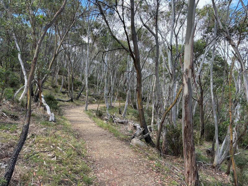
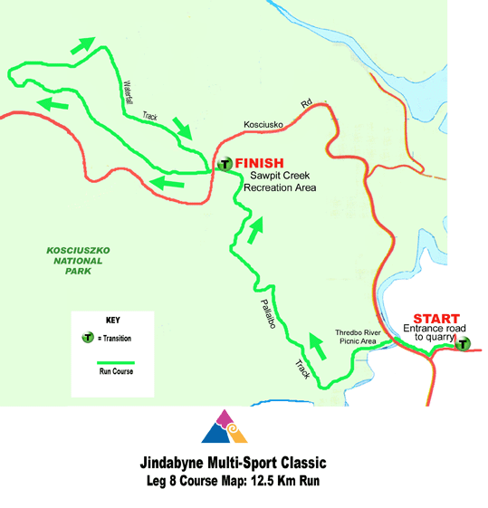
Starting from the NEW TRANSITION AT THE TREDBO RIVER PICNIC AREA (turn left off Kosciuszko Rd as you are heading west into the National Park, immediately after you cross the Thredbo River), look for the signs designating the beginning of the Pallaibo Walking Track and Thredbo Valley Track. These tracks are the same for the first 500m of newly constructed trail. THIS IS DUAL USEAGE TRAIL, SO PLEASE BE ALERT FOR BIKES COMING THE OTHER WAY!
After 500m, look out for the fork heading to your RIGHT, where the Pallaibo Trail veers away from the main Thredbo Valley Track, to head uphill. The trail rises, ascends, then continues to climb. After several kms, take the right hand option at a fork in the track, which will bring you out at the Sawpit Creek picnic area, where you turn to your left into the picnic area.
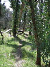
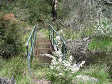
Continue through the picnic area directlyonto the Waterfall Track, which heads under the bridge over Sawpit Creek. Head to your left onto this trail.
This track, which is another designated walking trail, takes you through bushland which was completely burned out in the fires of January 2003.
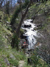
The trail takes its name from a pretty waterfall on Sawpit Creek at the far end of the loop, though flows are dependent on rainfall or snow melt.
Continue past the waterfall, all the way around the loop until you return through the underpass under Kosciuszko Rd to the Sawpit Creeek picnic area. Run through the picnic area, then turn left onto the walking track for another 400 metres to bring you to the Kosciuszko National Park Education Centre and the transition.
For detailed course descriptions and maps of other legs, select from the list below.