The first mountain bike course is by far the most technically demanding leg of the whole event. Only experienced and proficient mountain bikers should attempt this course. It is strongly advised that athletes familiarise themselves with the course prior to the race. Please note that cyclists MUST carry their own water or other replacement fluid.
View and download this course on Garmin Connect.
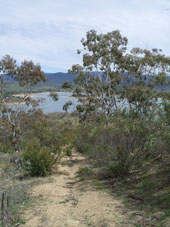
Although 8 kilometres does not sound a long way on a bike, the majority of the course is on narrow single tracks, for the most part over steep and rocky terrain. This leg is not for the faint-hearted, the inexperienced or the untrained.
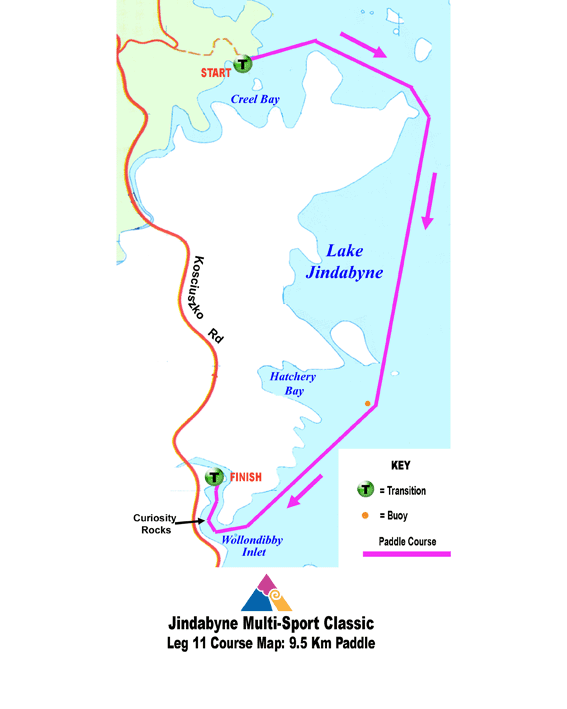
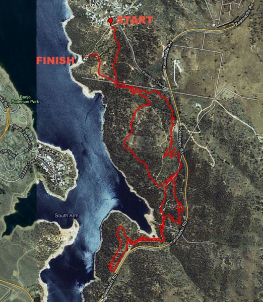
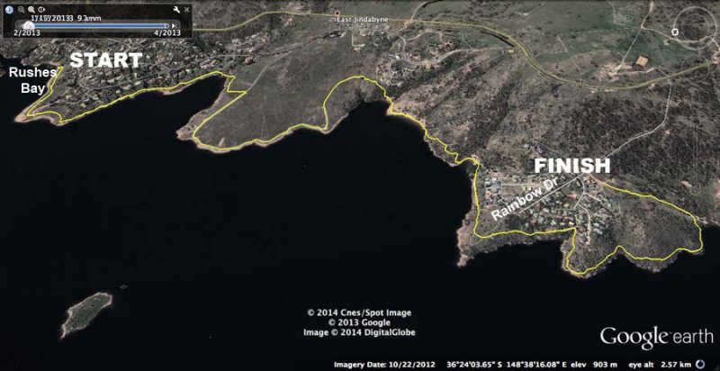
The course commences at the transition area near the intersection fo Echidna Place and Rainbow Dr. Look for the single track heading into the bushes and proceed along this track.
Follow this track mostly up and also down. Turn left at the first main junction, heading up hill. This leads through several wide switch backs up the hill, bringing nearly to the top of the hill. Cross over the 4WD track and head straight onto the single track on the other side, named "Knights in Shining Armour," then take the next fork to your left onto "Huff 'n Puff."
This track starts to switchback downhill, with the main bitumen road (Kosciuszko Rd) below you. Your track almost joins a larger 4WD track heading downhill, but switches back again one metre before joining it and continues through a series of broad switchbacks heading down.
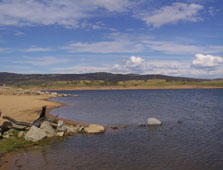
You are now below the level of Kosciuszko Rd. Look out for snakes! Continue straight and the left onto the "Centre Link" trail, which finally brings up out onto a 4WD road, the final 100 metres of which down to Mill Inlet is 2-way traffic, so be alert for bikes coming towards you.
From Mill Inlet, continue up the 4WD track. At the top of this track, head straight onto a single track heading up onto the ridge before you reach Kosciuszko Rd. Thsi track turns right and starts to loop back around towards the lake. You are now on the return leg of your journey.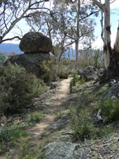
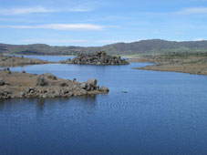
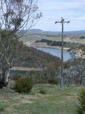
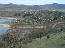
Turn left at the next fork onto "She'll be Apples," which eventually becomes "Felicity." This track then endures a steep, rocky climb to the top of Mill Hill. The power lines at the top mark the beginning of a spectacular descent, with great views across the lake to Jindabyne, all the way around and down to Mill Inlet.
At Mill Inlet, turn to your left to rejoin the 2-way traffic, though this time you are heading up and the cyclists coming towards you are coming downhill. Veer left then onto "Julio's" track and continue straight ahead.
Look for the left hand turn at Pole Number 12 onto "Huff 'n Puff." Folow this up through some switchbacks until you join the deluxe "Mill Creek Track." Continue around the flank of the ridge with the town directly on your left.
A well-earned downhill run brings you home. There is one fork a few hundred metres from the finish, where you will take the right hand option. Take care coming into the big ditch leading into the transition!
For detailed course descriptions and maps of other legs, select from the list below.


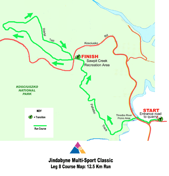
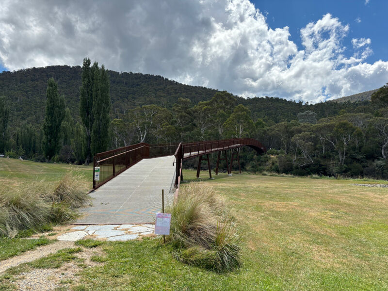 At the entrance car park of the Trout Hatchery, turn right, past the toilet block and continue onto the new Thredbo Valley Track, across the impressive new bridge over the Thredbo River, and through the gate on the far side. Turn right and follow the signs to the Thredbo River Picnic Area.
 View and download this course on
 View and download this course on